52.16° N · 21.05° E — Warsaw → NRW
Mapping forests
with code.
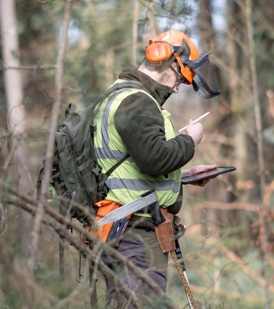
MSc in Forestry from Warsaw University of Life Sciences, especially interested in geosciences and remote sensing, now combining forestry with IT.
01 — About
About
“A well-prepared map reads itself; a bad one complicates life.”
I am an MSc graduate in Forestry from Warsaw University of Life Sciences (WULS), especially interested in geosciences and remote sensing.
This website is an overview of my academic, professional and extracurricular work, from field surveys and cartography to deep learning on UAV imagery. Feel free to get in touch using the form below.
- QGIS · ArcGIS ProGIS
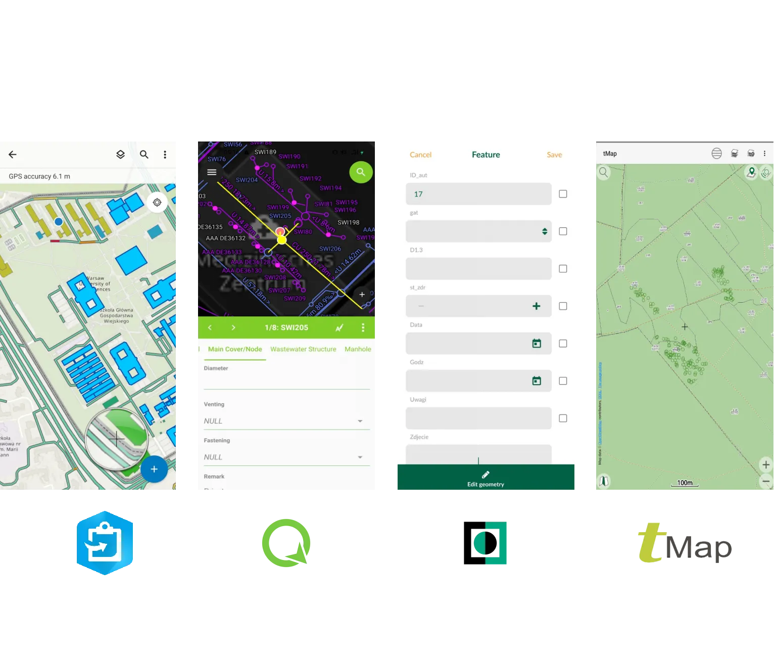
- ArcGIS Field Maps · QField · Mergin MapsField data
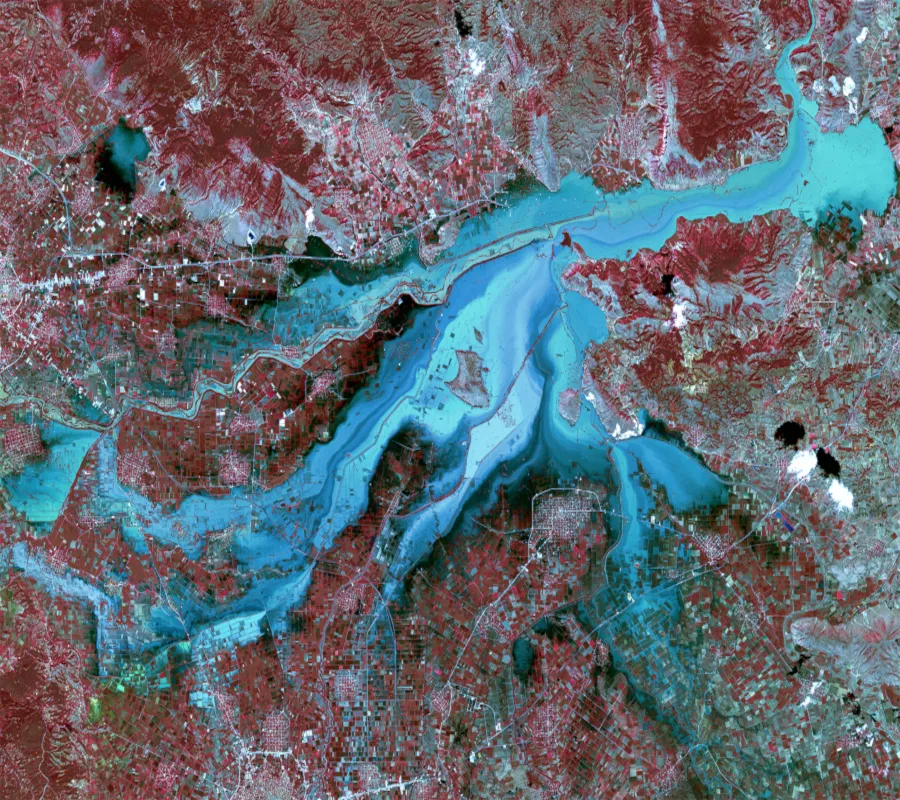
- Sentinel-2 · EO BrowserRemote sensing
- U-Net on UAV orthomosaicsDeep learning
- PythonIT
- AutoCAD · RevitCAD / BIM
02 — Timeline
Survey line
-
2023
Feb 2023 – Oct 2024
MSc in Forestry
Warsaw University of Life Sciences (WULS)
Master's thesis: Utilizing a U-Net Convolutional Network to Characterize Felled Tree Stem Sections on UAV Orthomosaics.
-
2023
Sep 2023 – Apr 2024
Smart Forestry project
iFOS
A publicly funded project that let me combine writing my Master's thesis with experience at the intersection of forestry and IT.
-
2025
Jun 2025 – present
Smasikafe project
Forestry Training Center for Forest Work and Forest Technology (FBZ NRW)
-
2026
Mar 2026 – Oct 2027
Post-graduate studies: Geomatics and AI in Forestry
Forest Research Institute
03 — Projects
Selected work
04 — Achievements
Post-graduate field notes
Current developments from my post-graduate studies and side projects.
New field notes are on their way. Check back soon.
05 — Contact
Let's map something together.
Questions about a project, a job opportunity or a map? Send me a message.