Cartography
Cartographical works
Maps for an educational forest path and a forest road network project, with hillshaded terrain from 1 m DEM data and clear, readable layouts.
Maps serve multiple functions. In their purest form, they depict specific areas and help with orientation in the terrain. They are also a foundation for project planning and visualisation, and they can be appreciated as works of art. A well-prepared map reads itself; a bad one complicates life. Take a look at a sample of my cartographic work and do not hesitate to contact me.
Educational path overview
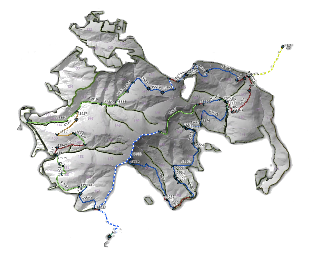
The illustration shows an overview of the educational path; the full map is available as a PDF. To enhance the 3D impression of the hilly terrain in southern Poland, I generated a hillshade and used it as a greyscale background, based on freely available 1 m × 1 m DEM tiles from the Polish National Geoportal.
Forest road network
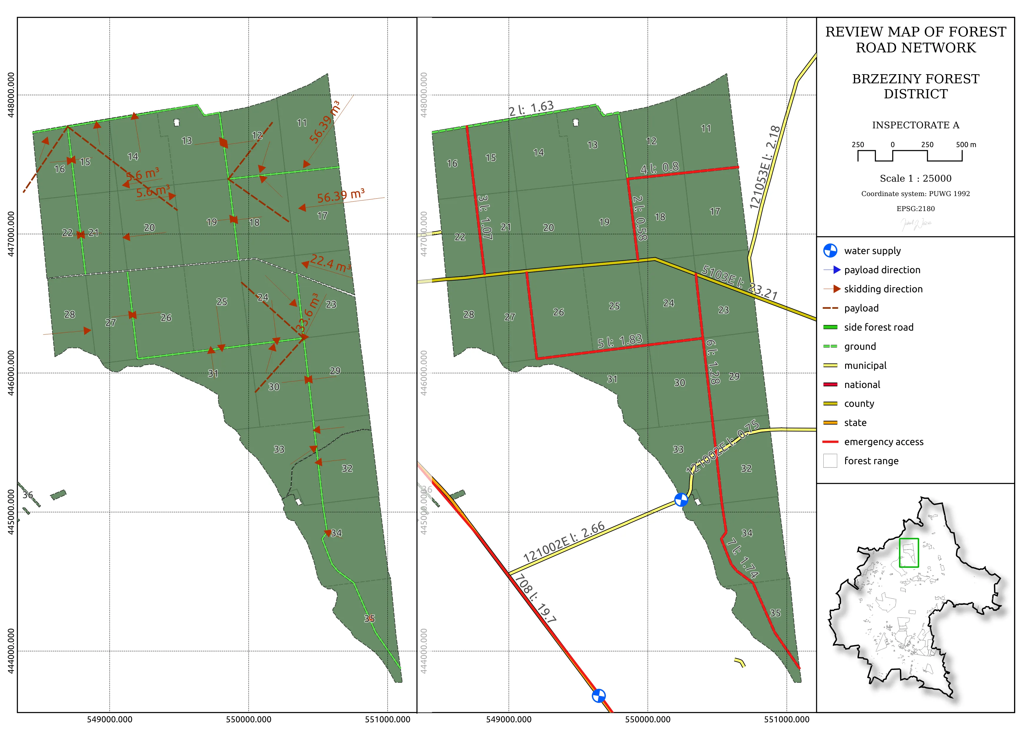
This image is a snapshot from the Forest Road Network Project, which I completed for one of the courses in my Master’s programme. Under a decree of the General Director of the State Forests, each forest district (the basic organisational unit of the State Forests) must establish such a network. It governs the use of public and private roads for activities like timber transport and addresses safety concerns. Such a network can also protect against potential legal issues.