Field data
Field surveys
Digital field-data collection with ArcGIS Field Maps, QField and Mergin Maps, and an educational forest path with a companion web app.
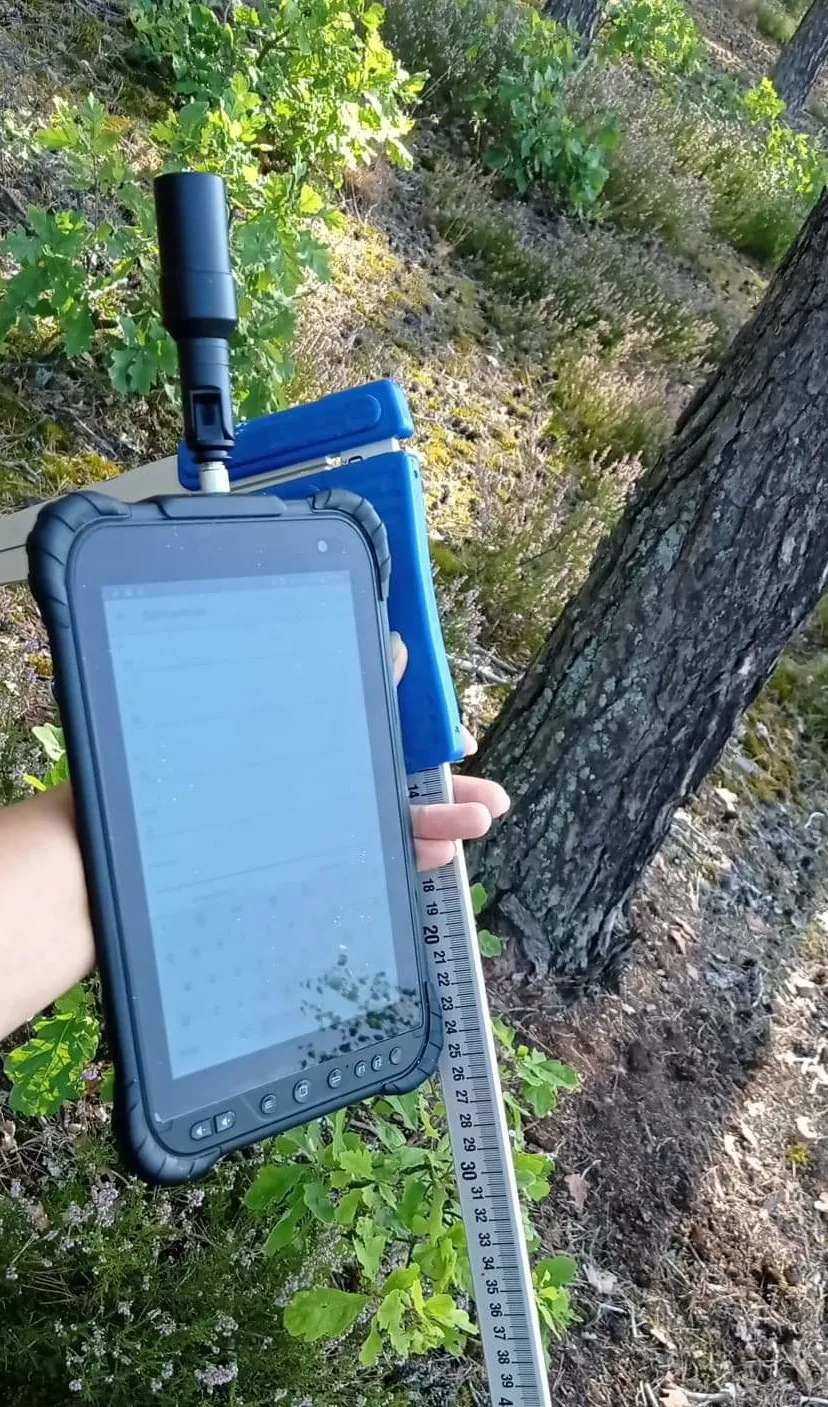
Field surveys are the foundation of numerous projects, particularly in forestry, where the dense canopy can degrade the accuracy of modern equipment such as GNSS receivers, lengthening fixing times and introducing errors in both vertical and horizontal measurements. Some tasks also require manual data collection because they cannot be done remotely.
Fortunately, technology helps here: it replaces traditional paper forms and reduces the amount of post-survey work.
Digital data collection
During my studies I became proficient in commercial data-collection software, including ESRI ArcGIS Collector / Field Maps, as well as open-source (QField) and open-source-derived (Mergin Maps) platforms.
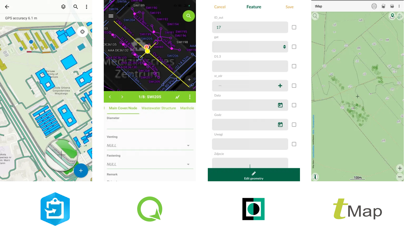
I mainly use this software for preprocessing, verification and deployment to a server as user-friendly geoportals, predominantly in the ArcGIS environment. Preprocessing mostly means creating digital data-collection templates: an efficient alternative to paper forms that enables fast offline data storage and cloud streaming, making data collection safer and more interactive.
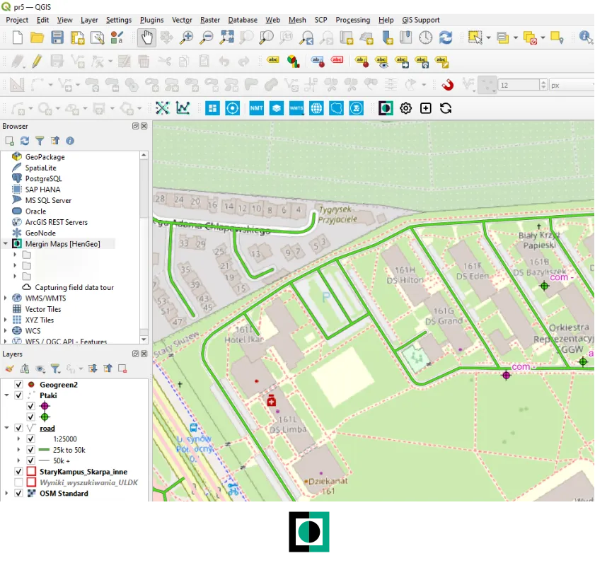
In recent years, various QGIS-based solutions for digitising field surveys have emerged. One of them is Mergin Maps, which I tested during my studies.
Educational forest path
In addition to my academic studies, I gained practical experience through summer jobs and several private projects. One notable project was an educational path in the Piwniczna Forest District in southern Poland. It was inspired by the State Forests’ pilot programme “Overnight in the Forest”, which allows legal overnight stays in designated forest areas under specific safety guidelines.
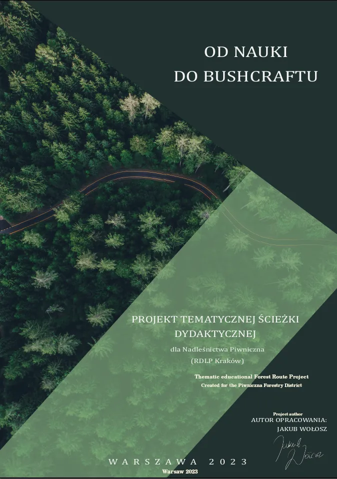
The path was aimed at bushcraft and camping enthusiasts and could also serve as a resource in emergencies. It offered two length options and additional tourist infrastructure such as spatial coordinates and educational field boards along the route.
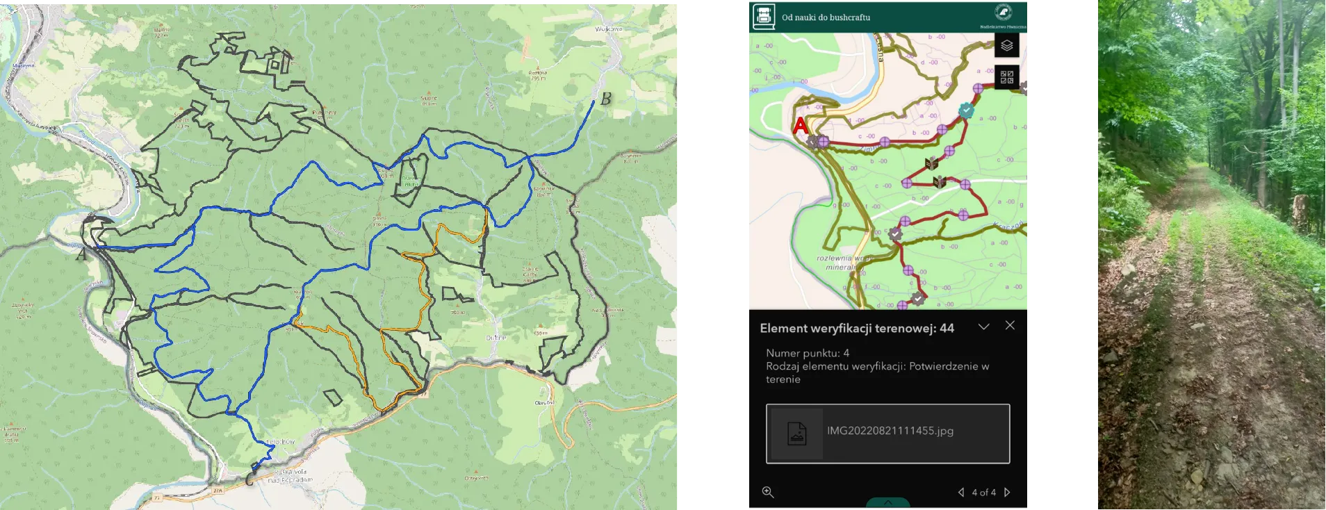
The illustration shows the route options (left), a web application built with ArcGIS Experience Builder that lets users track their current position (middle), and information about the location of educational boards and terrain conditions (right).
Warsaw, 2022/2023